Summary
Starts/Finishes: Honiton Showground Layby, EX14 3EW.
What3words: ///dished.arrive.relations
Time: 1 – 1.5 hours
Distance: 4.5km
Difficulty: Easy/moderate
Terrain: Muddy field and farm tracks, quiet village lanes and footpaths
Parking: Free but limited. Additional parking in layby towards Honiton on same road
Buckerell Out and Back Loop
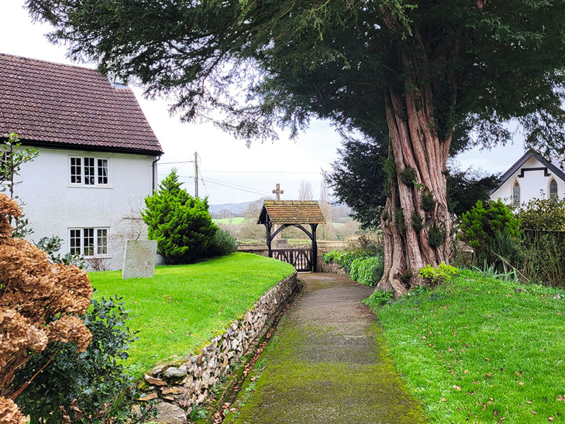
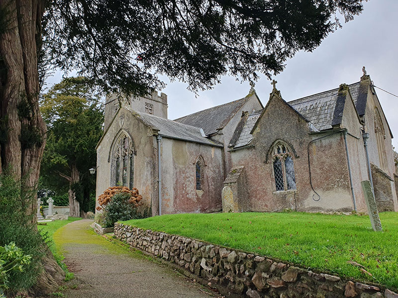
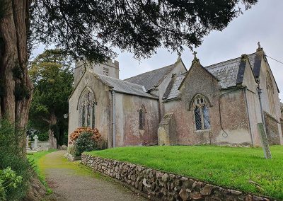
This straight forward there and back loop provides a welcome introduction to the interesting East Devon village of Buckerell, with its Grade II listed 13th century church and far stretching views across the surrounding countryside.
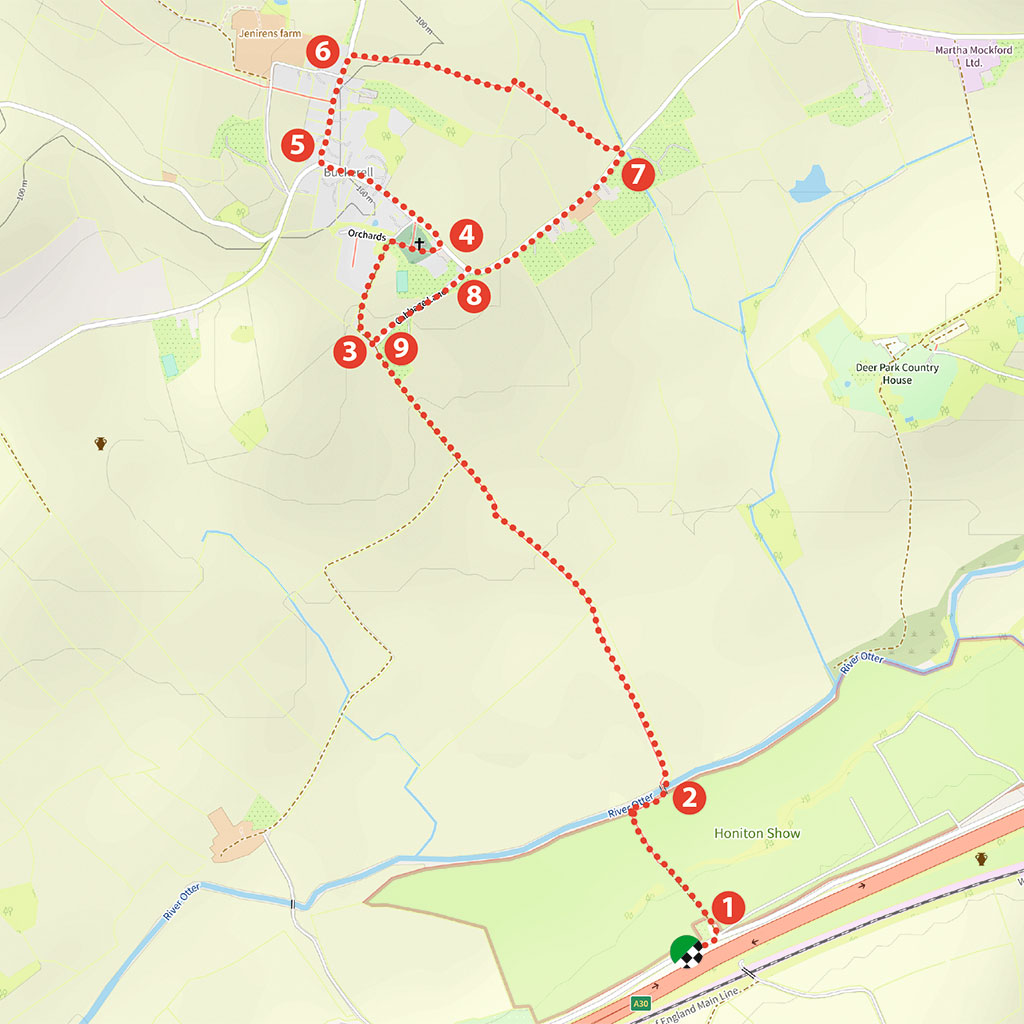
From the small layby on the old A30, walk less than 100 yards east to a public footpath sign (1) directing you over a stile and into a field next to the Honiton Showground. You’ll see the village of Buckerell directly ahead of you in the distance.
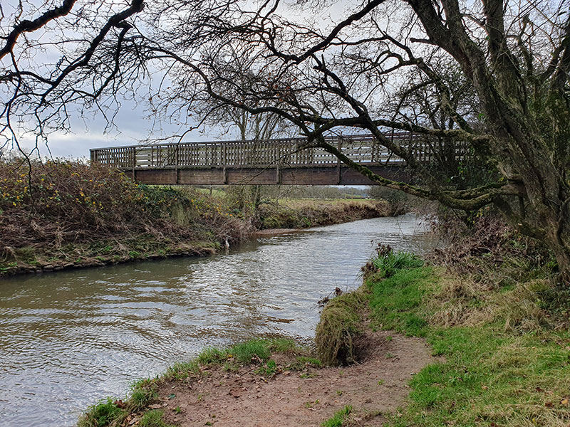
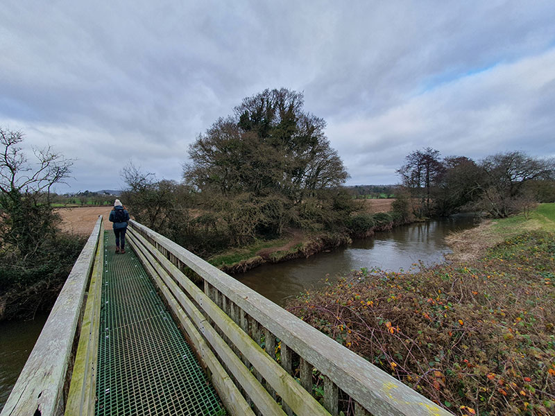
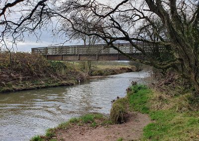
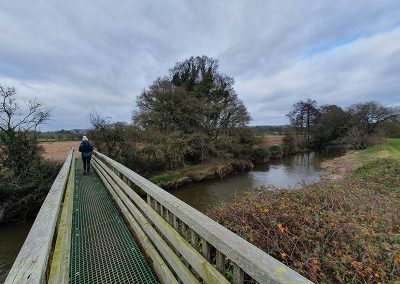
Walk down the track and continue along the edge of this field keeping the fence to your left, and eventually turning 90 degrees right, (2) before crossing the River Otter using the footbridge on your left.
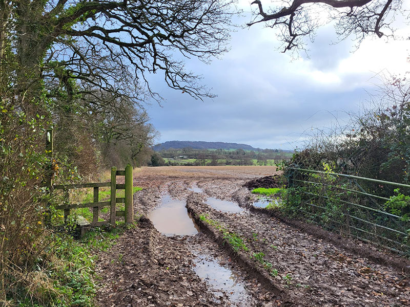
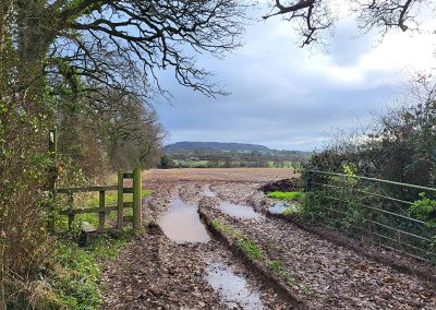
Cross the bridge and follow the footpath ahead, keeping next to the hedge line on your right. You’ll continue over a stile and then continue following the farm track directly ahead, steadily going uphill. This track gets quite muddy after a period of rainfall so suitable footwear is required!
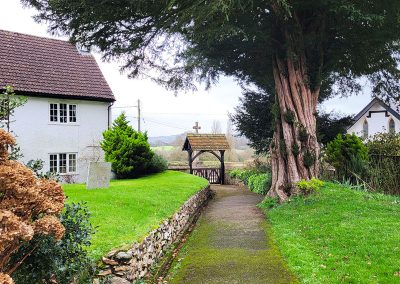
(3) Follow this track for approximately 0.5km until you reach a public footpath signpost. Continue straight on, avoiding the road on your right and follow the track as it soon goes around to the right and to the village’s Church of St Mary and St Giles.
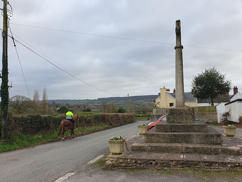
Here you can see a fantastic carved Chancel screen, and a statue of Britannia – a memorial for British Royal Navy Admiral Samuel Graves and his wife. Enjoy learning more about the church, before exiting through the northeastern entrance and viewing the war memorial.
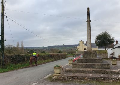
(4) From here, follow the road uphill slightly into the heart of the village, admiring the picturesque properties, many of which hold insightful clues as to their use in the past – one of which being the Armoury, once a guardroom and ammunition store during the war.
You’ll also pass the remains of the Buckerell Parish Water Pump, whose water supply was of such poor quality it was known as ‘churchyard gravy’
by the villagers.
(5) Continue up to the junction signposted to Hembury Fort and take this direction to continue through the village. Pass a red telephone box on your right – now repurposed as a community library – and soon after, (6) go over the stile following the public footpath marked route on your right.
Enjoy fantastic views as you head straight across the field, then through a gate and across the next field to the bottom left corner.
(7) Turn right onto the lane, and walk back up towards the village. (8) Turn left at the tight, righthand corner before the war memorial you’ll see again ahead, and follow this back down to meet the track you arrived on earlier.
(9) Turn left and retrace your route back to the beginning.
